 Brevard-Online.com Everything Brevard County Florida, All Day, Every Day
WordPress database error: [Unknown column 'cat_par' in 'field list']SELECT `id`, `cat`, `cat_loc`, `cat_par` FROM `wp_adrotate_groups` WHERE `cat_loc` > 0 AND `cat_loc` < 5;

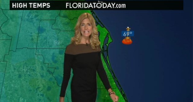
FLORIDA TODAY Space Coast weather forecast for Sunday into Monday.

This coming week’s weather forecast.(Photo: WTSP)
After thunderstorms swept across the Space Coast during a tornado watch Saturday, meteorologists expect milder conditions today.
The National Weather Service calls for sunny skies and an afternoon high near 73 at Melbourne International Airport. A north-northwest wind will hit 15 to 20 mph, with gusts as high as 25 mph.
On the beaches, a moderate threat of rip currents will peak until about 4 p.m. Small craft advisories are in effect until noon for near shore waters and 4 p.m. for offshore waters. Forecasters also warn of elevated wildfire danger, particularly west of Interstate 95.
Here’s this week’s weather outlook:
Tonight: Mostly clear, with a low around 52. North-northwest wind of 5 to 10 mph.
Monday: Sunny, with a high near 77. North-northwest wind of 5 to 10 mph, becoming east northeast in the afternoon.
Monday night: Mostly clear, with a low around 54. East wind around 5 mph.
Tuesday: Sunny, with a high near 79. Light northeast wind, becoming east 5 to 10 mph in the afternoon.
Tuesday night: Mostly clear, with a low around 58. East-southeast wind around 5 mph.
Wednesday: Mostly sunny, with a high near 81. East wind of 5 to 15 mph.
Wednesday night: Partly cloudy, with a low around 63. East-southeast wind of 5 to 10 mph.
Thursday: Mostly sunny, with a high near 82. East-southeast wind of 10 to 15 mph.
Thursday night: Partly cloudy, with a low around 65. Southeast wind of 5 to 10 mph.
Friday: Mostly sunny, with a high near 82. South-southeast wind around 10 mph.
Friday night: Partly cloudy, with a low around 68. Southeast wind around 10 mph.
Saturday: Mostly sunny, with a high near 85. South wind around 10 mph.
![]()
Published at Sun, 30 Mar 2014 16:07:30 +0000